UNDERSEA MAPS

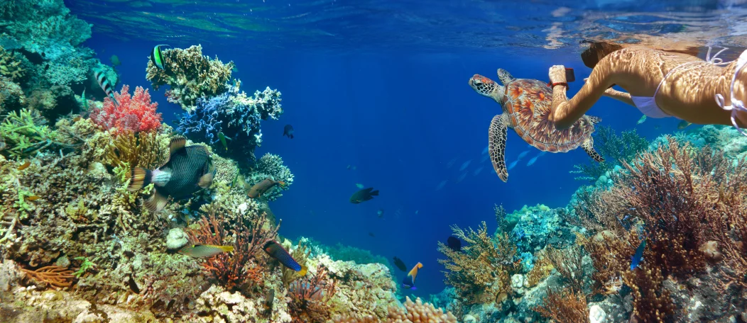
Have you ever wanted to experience diving on coral reefs but wanted to look it up online first to see the involvement before trying it? Starting now, you can use Google Maps to find panoramic views of a manta ray flying along the bottom of the ocean floor, schools of exotic fish forming together and find coral reefs with all variation of colors. It would be like scuba diving an underwater safari from your computer pad or smartphone.
The U.S. governments of scientists are concentrating on underwater fisheye lenses for capturing subaquatic sanctuaries nationwide in hopes of scattering the videos and panoramic images into “street view” mapping within Google Maps. There is a small collection on Google Maps for now, such as Bermuda, Galapagos, Monaco, Belize, the Philippines and the Great Barrier Reef. By giving the public a peak into the ecosystems it is still challenging and very expensive to explore all reefs and will take a long stretch of time to explore all the natural undersea wonders. The scientists and explorers goals are to create footage of the parts of the world that have rarely been seen by human eyes and can be displayed on any computer or smartphone.
Not only can you learn about the coral reefs and recognize the beauty of what is lurking beneath the waves, but it is also a great way to educate nationally about the changes overtime. To study environmental issues that may be threatening these ecosystems that are crucial to underwater life and to gather data for researchers to track dangerous exposures. “In hopes of the imagery will help people realize the beauty of Earth and how important it is to protect these environments that until now have been out of sight and out of mind” said: The survey team.
The 360- degree panoramic ‘street views’ on Google Maps makes it easy for the public to explore the world’s most striking and remarkable coral reefs at an underwater level view.
Explore the recent views on Google Maps, you never know what is around the corner!


Leave A Comment